There will be more covered on my birding escapades in a separate blog dedicated to birding in Victoria much later.
With a short drive, we also visited the nearby wine making district of Rutherglen. There are no photos of that area though.
Besides the Box-Ironbark forests immediately close to Chiltern, we also visited Chiltern-Mt Pilot National Park. There are old goldmines throughout the NP from the gold rush days of 1858.
This 21,636ha NP is mostly just south of Chiltern. We took a tourist drive to a car park to take a short walk to the 545 metre summit of Mt Pilot where we were rewarded with magnificent 360* views of the surrounding countryside.


Before driving further south, we decided to drive a little eastwards to visit the Albury / Wodonga district. The 2 towns straddle the Murray River, with Albury in NSW & Wodonga over the expansive bridge in Victoria.
It is early April, & the weather is still quite warm in the mid to high 20's *C
We chose to stay at a free camp along side the very expansive Hume Dam which is on the Murray River.
As you can see by where everyone is camped....we're not in these photos.....that the water level is extremely low. Where I'm standing taking these photos, I should be covered in water if the dam was at capacity. From memory, I think the water level was down to about < 20%.
According to some research, "the reservoir typically falls to < 1/3 capacity by March each year, but in normal years refills to at least 2/3 capacity before November."
Depending on rainfalls & snow melts from the Snowy Mountains.


The lines in the sky are jet streams created by aeroplanes.

The Hume Dam weir / wall was built over a 17 year period between 1919 & 1936. The Hume Dam is located 27 kms east of Albury. The dam capacity was further increased during the 1950's to increase irrigation needs.
It is a major dam across the Murray River. The dams purpose includes flood mitigation, hydro-power, irrigation, water supply & conservation. (the hydro-power station was built in the 1950's)
We visited the dam wall & spillway & saw just how significantly low the water level was.


Notice how low the water level is from capacity. At full capacity, the water volume is said to be 6 times the volume of Sydney Harbour.


The spillway area & down stream of the Murray river still receives water flow to keep the river flowing.


These next 2 photos show the Mitta Arm of Lake Hume from a lookout near Tallangatta.
But due to the water levels being so low, only small small streams exist...but these muddy stream edges can be a haven for migratory birds.


Moving south again, the Chiltern Beechworth districts hold a lot of history with gold discovery in 1858 where the towns grew during this gold rush boom period. By the early 1900's the gold deposits had dwindled & so did the towns. They left behind some magnificent stone buildings in most of Victoria, many of them lovingly restored.
This is a Bed & Breakfast front yard of a house in Beechworth.

Walking around town we took in the sites of beautiful architecture.
Beechworth Honey is famous for it's produce & honey with many different flower flavours can be tasted & bought in this building.

The Old Post Office Building

At the service station in town we saw this beautiful old Holden Wagon that is still in use.


this is the old Court House


I hope you can read this as this describes the use for the next building


From Beechworth, we moved further south towards Mt Buffalo & Alpine National Parks.
We used Porepunkah & Bright as our base for exploring the trails of Mount Buffalo NP & the Alpine NP. There are apparently 50 hotels & other forms of accommodation in Bright which fills during the snow ski season.
We decided to stay at the lesser known town of Porepunkah, just 6 kms north of Bright.
There was so much to see in the district....Bright has their own brew house, so an afternoon drink there was a must.

Sue's drink is the non alcoholic variety to drive home as that pallet of 6 tastes of the brews within the hotel could possibly have put Rod over the legal driving blood alcohol limit.

I liked their humour & originality for the amenities

Metal style kegs for wash basins.

2 of the vats for their brews.

It is 11th April & Autumn colours are in full swing.

Our 1st NP visit was to Mount Buffalo, a tall mountain plateau on the west side of the Victorian Alpine region. It is a 31,000 ha park starting just 6 kms North-west of Bright.
As we drove we enjoyed the changing landscape of tall Eucalypt forests (mostly Bogong gum) around 500 - 1000 metres & as we drove further upwards of 1 of the ranges in the NP. Driving higher to 1100m we were to enjoy Alpine Ash, then as we got higher to 1300m on to Snow Gum Woodlands & spectacular views.
Unfortunately the NP rangers & Fire Protection services were doing control burns in parts of the NP, commencing on the day we arrived....so our views were spoiled by thick clouds of smoke & there wasn't much wind to blow the smoke haze away. (Ideal conditions to do control burn off I suppose).
Control fire burns are a necessary part of preventing catastrophic episodes like the 2003 & 2006 fires.
Despite the smoke haze in most places, we enjoyed the expanse of the spectacular granite cliffs, deep gorges.
These 2 photos are the views from Mount Buffalo Chalet, a popular resort during the snow ski season.


Mount Buffalo Chalet, the original building was a small hut built around 1902.

Originally built in 1902 after a road was cut up the mountain to enable tourism

Bike riding is also popular in summer around the lake shores.


We encountered this well fed looking Dingo Cross dog along 1 of our drives within the NP.

1 of the giant Tors we encountered during the day. (a Tor is a large free standing rock outcrop that rises abruptly from the surrounding smooth & gentle slopes of a rounded hill summit or ridge crest)

This is area is called Dingo Dell, along with another area called Cresta Valley are large plateaus at an elevation of around 1500m that is blanketed by snow in winter & attracts snow play, tobogganing & country skiing.

You can see that there is hundreds of dead tree skeletons.....sadly a wild fire caused by a lightening strike burned thousands of ha around 2003 & 2006. The trees & other vegetation is slowly recovering.

We drove further into the NP & higher to an area called The Horn, Mt Buffalo's highest point at 1723m.
The brochure & tourist map said we should enjoy 360* views of the plateau & the Alps at the summit.
Sadly the smoke was at its worst when we arrived & there was nothing much to see to the north & west & we could only imagine what was in the distance :-(

We walked a trail to different view points & got some views of the surrounding ranges & plateau


Driving back down & along another track, we arrived at a reservoir, used for drinking water, recreational fishing & fire fighting if necessary.

Near the entry of the NP is Eurobin Falls...an easy short walk, but as we're in the drier season now, it was just a trickle.


Our smokey views through the surrounding trees in our campground made for interesting sunset.


The next area to explore around Bright is SE to the Alpine NP including Falls Creek, 1 of the more popular ski resorts in Victoria.
Mt Beauty is en route to Falls Creek, but we have to traverse a 30 minute windy road from Bright through the Tawonga Gap.
The lookout to Mt Beauty below & Bogong in the distance at the top of the climb is supposed to be quite spectacular, but sadly there's been more control burning in this part of the National Parks too.
That's Mt Beauty down there.

There was a plaque at the lookout describing all the mountain peaks of the Alpine Range to give us a better perspective of how it should look.

It is another 45 mins drive to Falls Creek from the Lookout - total of 1 1/4 hrs drive from Bright.
Alpine NP covers a huge area of 646,000 ha is size, divided into 3 main sections that include Falls Creek, Mt Buller & another lesser know area NE of Falls Creek. It is the largest NP in Victoria, & covers much of the higher areas of the Great Dividing Range in Victoria, including Victoria's highest peak Mount Bogong at 1986m.
The lesser know area's NE region abuts the Kosciuszko NP in NSW.
Google Wikipedia tells me that 87 bush fires were started by lightening. 8 of these fires were unable to be contained & joined together to form the largest fire in Victoria since the 1939 "Black Friday" bush fires. The main fire burnt over 13,000 km2 , over 59 days with 41 homes being destroyed & over 9,000 livestock killed.
The December 2006 fires burned over 1 million hectares which also included the Gippsland region.
Since both major events, some of the NP has struggled to regenerate.
We can see the skeletal trees that were affected by the massive bush fires. It was quite eery & sad to see the landscape looking like this, but a sad reality of what nature can do to our country.

As you will see there is regeneration of many trees, but there are skeletons dotted throughout.


As we drove higher into the Alpine NP, the landscape is more dramatic revealing the shorter Snow Gum area & low heathland plateau's.
Snow Gums are a small tree that live in the higher sub alpine areas of the NP - usually above 1,300m to 1,800m elevation. They are very tolerant to snow falls.

We finally arrive at Falls Creek & see lots of accommodation buildings that are most likely closed until the ski season starts.

Approaching the main township, we saw a platypus trying to cross the road where there is a small gully. It was a most unusual sighting & we make sure the platypus is safe across the road before we drive to some the main tourist areas around Falls Creek.

We start to see some flat areas that are used as ski fields.


Rocky Valley Lake, sitting on the south side of Falls Creek at 1600m is considered to be Australia's highest water body. The lake serves as a drinking water reservoir & an aquatic playground in the summer months.

We drive a little further south to explore the Bogong High Plains with an elevation of 1893m. The landscape changes dramatically to low heathlands with a smattering of Snow gums.

There are several huts located in these plains after European settlement chose to graze their cattle up on these plains in the summer months from the 1830's until the area was declared a NP.
The huts are now used by cross country skiers during the winter months or cross country trekking during the summer months.
This photo is a plaque describing the resilience of the Snow Gums


1 of the very pretty alpine bushes that were in flower.

We took a short walk to Wallace's Hut. The trail shows the regeneration of some of the Snow Gums.

As these Snow Gums are slow growing due to the high altitude, these trees must be 100's of years old & were a picture of beauty.


This plaque is the description about Wallace's hut ...essentially the Hut was made of Snow Gums in 1889 by the Wallace family who grazed their cattle in this region during 1869 & 1914.
Wallace's Hut can now be used as a stop over accommodation for cross country trekkers & skiers.


The obligatory "out house"can still be used ....Australian language for a pit toilet

Vegetation in the surrounding area with the Snow Gums

Low heath in the open areas of Bogong Plains, I'm sure would be extremely pretty during spring / summer after the snow melts.

Cope Hut was another of the alpine huts we visited. This hut was built for tourists trekking the mountains & the key was to find it before it became buried amongst the snow fall.


More of Bogong high plains

Back to another bay of Rocky Valley Lake at Falls Creek

We could see the chair lift in the distance, where the entire region would be covered in deep snow during the winter snow season.
During the summer months, this area is popular for mountain bike riding


Another lookout over Rocky Valley Lake

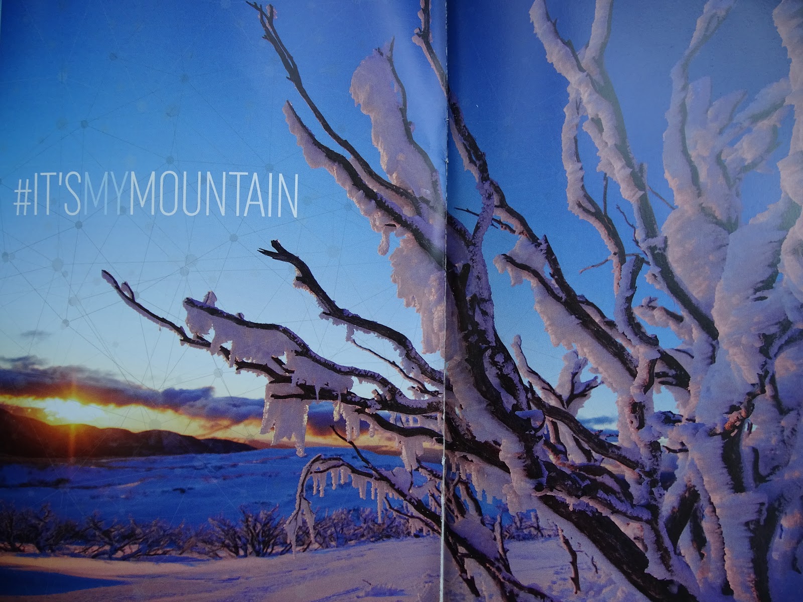
Being mid April, we were too early for any snow falls, but this is what some of the area would look like in the midst of winter.
The drive north of Halls Creek back towards our accommodation.

We stopped at Fainter Falls.

The stream that would be full during the snow melt

It was just a 1.4 km walk to the falls through pretty forest littered with tree ferns & other wet forest vegetation.


Bogong park is in the small township of Bogong, about 1/2 way between Mt Beauty & Falls Creek.

Whilst in the Bright - Mt Beauty area, we visited Mountain Creek for a picnic lunch & walk in the forest following a river for a little while.


We arrive back at the lookout over Mt Beauty. The smokey haze had cleared a little so that we can see down to the township.


We drove around Bright a little more, taking in the amazing autumn colours that I couldn't get enough of.


Rain was predicted later in the day, so we left early & travelled south through Harrietville with an elevation of 510m.
It was 10am by the time we started the 32km gradual climb to Mt Hotham pulling our 3.0 tonnne caravan with a Patrol 4x4. (our water tanks were close to empty)
The road was windy & we were almost in a constant uphill drive. It was a slow drive & thankfully there were few vehicles coming from the other direction so that we could take some curves a little wider without having to use the vehicle breaks more than we had to. (I kept my eyes gazed on further ahead as spotter for on coming vehicles)
Thankfully the road was dry as I couldn't imagine what it might have been like if it was wet.
The scenery was really spectacular, but unfortunately driver hubby had to keep his eyes on the road & could only enjoy the many photos I took between road spotting.
Again, we were still seeing the skeletons of thousands of Eucalypt trees from the 2003 & 2006 fires.


We're nearing the top of the Alpine NP, tall Eucalypt trees were being replaces with skeleton Snow Gums.


Almost there. Imagine the scenery when the entire region is covered in snow.

phew, we made it to the top with out any issues. We stopped at Mt Hotham & let the vehicle motor cool down a little after that hard climb, but it was far too cold to step outside for longer than a few minutes.

No comments:
Post a Comment