We will then tour the far west travelling from Birdsville to Boulia, Winton, Blackall , Stonehenge & back to Birdsville in time for Spring in South Australia.
All up we will be in that general area for up to 8 wks & going to most points within those margins.
After visiting my family near Charleville & then a a few days birding visit to Bowra an Australian Wildlife Conservation property near Cunnamulla we continued out travels west towards Thargomindah.
As is usual, I would be bird watching on this trip.
Our 1st stop after driving from Cunnamulla through Quilpie & westwards was this wonderful free camp spot at Paddabilla Bore, about 12 kms east of Eulo. There was a bore that wasn't flowing much at all except for the farmers cattle water troughs. There was a smallish shallow dam next to the "Turkeys Nest Dam".....so called in Australia due to it's size & usually situated next to much larger dams.
The smallish dam was mostly being used by honeyeaters & larger bush birds.
As the sun was disappearing into darkness several Bourke's Parrots flew over our campsite to take a drink in the cover of darkness.


These megafauna animals roamed the area between 2.588million to 30,000 years ago.
It's modern day relatives are the wombat & koala.

We stayed in Windorah with friends on our return circuit of 8 wks in the outback ....I've added these pics from around town to have the route to Birdsville in chronological order of towns we went through. On our 1st visit through Windorah we stayed out at the Cooper Creek free camp....along with a few dozen other nomads & families who were most likely heading for Birdsville too.
We are now entering the expansive Channel Country.
Windorah is a small town of around 116 people.


Small grocery store, snacks & other useful items.


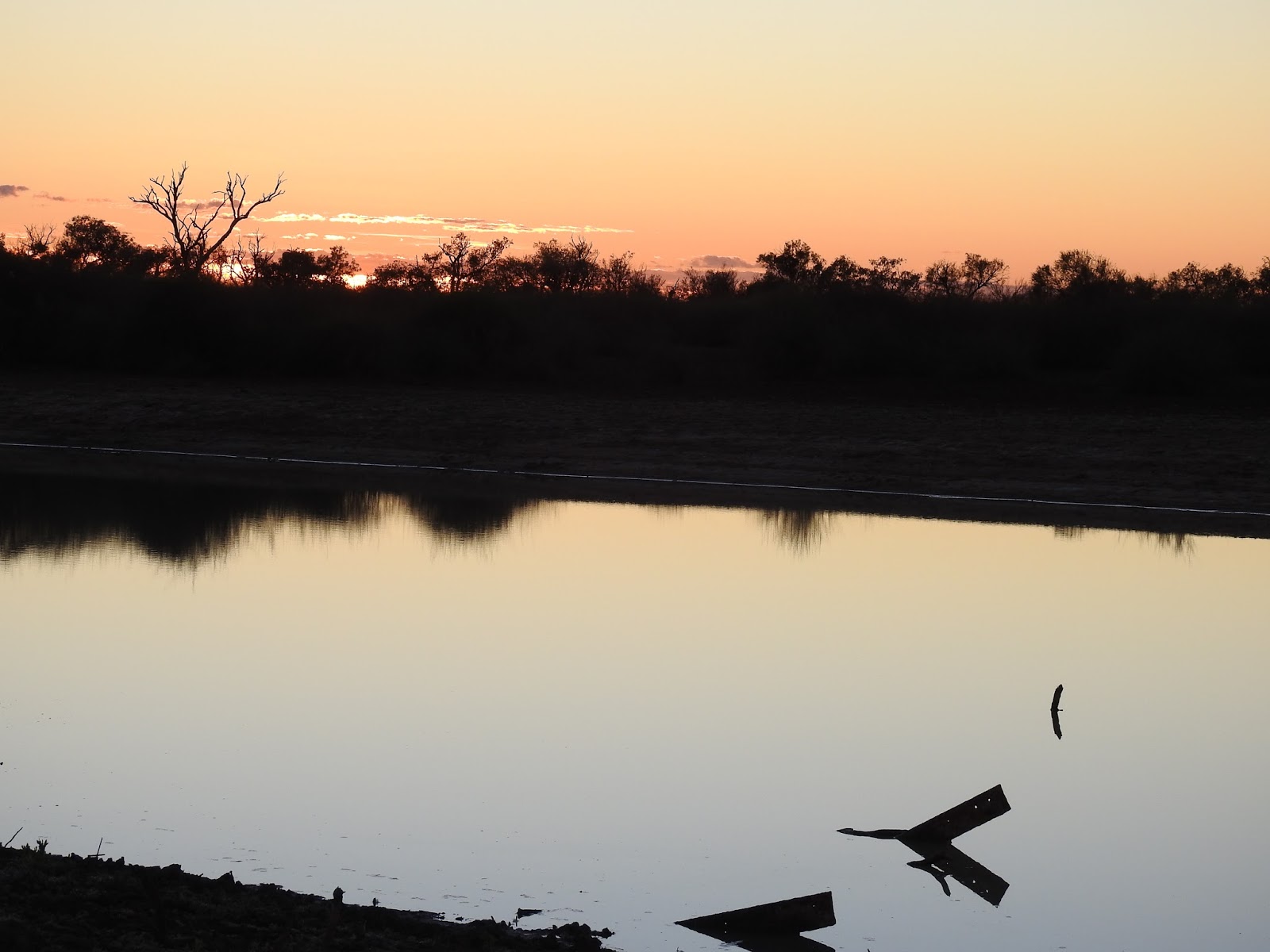
Sunset at Windorah

Five solar panel dishes stand just on the eastern outskirts of town. Commencing operation in 2009, the solar farm supplies the town of it's electricity from the sun. Depending on demand, not all of the solar dishes may be in operation at the 1 time.

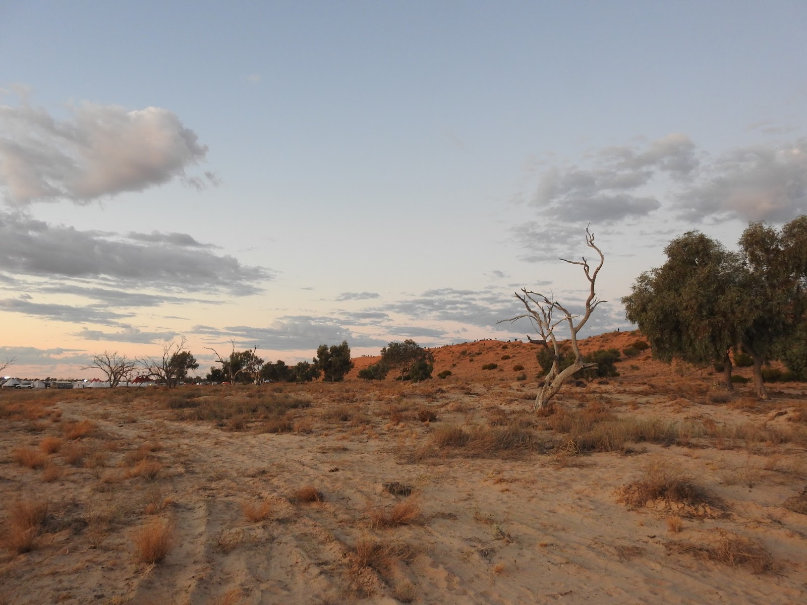
Our 1st sand dune on the Diamantina Development Road somewhere west of Windorah.
There had been showers in the district early that morning, but the clouds look darker because these clouds are in the west & the sun is still in the NE.
Thankfully the predicted weather report was partly cloudy, but fine.

We turn off the Diamantina Development Road onto the Birdsville Development Road & thankfully the clouds had disappeared as we are about to start the gravel roads.


We camp on the town common for nearly 5 days as we wait for the starting date of our music concert in the desert.

The Birdsville pies are iconic. They "go out the door like hot cakes".
There are so many different flavours to choose from the menu including Curried Camel meat & Kangaroo & claret pies. We enjoyed the more traditional pies of beef meat.

We were still about 5 days away from the start of the Birdsville Big Red Bash, so it was unusual to see an empty street in front of the Birdsville Hotel that was built in 1884.

I took this photo inside the Birdsville pub on our return visit through Birdsville 8 wks later on our way to SA via the Birdsville Track. It was nearly Birdsville races time & there were more people gathering in town for that event.
As you walk around the public bar area, many people had contributed their piece of history.

It is incredulous to think that Birdsville had 3 pubs around 1883. This was the Royal Hotel that operated for 40 years before it was transformed into the Inland Mission & operated as a hospital from 1923 to 1937.


Established in 1882, the famous Birdsville races are held on the 1st w/e of September ever year come hail, rain or shine. They have been cancelled on the odd rare occasion.
The towns population swells from approx 100 folk to > 8,000 for the 2 day event.

This tow truck lives at 1 of the 2 roadhouses in town which has supplies of fuel & grocery items.

The sign says that the Great Artesian Basin is 2,032 kms long & 1,450 kms wide making it 1 of the largest underground water supplies below the earths crust. This bore was drilled in 1961 to supply the community of Birdsville with water. The water comes out at a temperature of 96* Celsius. The water has to be cooled in ponds before being pumped into 45,000 L tanks for household use.
The very hot water also passes through 1 of Australia's only Geothermal generated power stations that provides 30% of the towns electricity supplies.


Birdsville has a significant wetland that is supplied by the water run off from the open bore drain providing a home to many outback bird species. This is just 1 section of the wetland.

We took a drive out to see the iconic Little Red Sand Dune that is a few kms south of Big Red Sand Dune. This road is the beginning / end of the track that crosses the Simpson Desert & is the eastern most sand dune of 1,100 sand dunes that have to be crossed east to west / west to east.
Standing at 40 mts high, Big Red is the tallest of all the sand dunes in the Simpson Desert.

Little Red is quite corrugated down near the bottom as people make a fast run up to the top of the sand dune....we were quite happy to watch other people make it up the dune.

Walking along the top of the dune. Little Red joins Big Red a few kms further to the north.

This is Australia's most remote festival & is held at the foot of Big Red Sand dune approximately 35 kms west of Birdsville.......1,589kms west of Brisbane. We are on the eastern edge of the Simpson Desert.
What started as a small fund raiser approximately 5 years ago, has now become a huge festival with iconic Australian musicians....mostly country music artists.

I'm standing on top of Big Red looking eastwards.

Not all of your most modern of caravans make it to Birdsville...but this old treasure has.

Festival organisers have provided more entertainment other than just music....camel rides for some.

The helicopter flights took off every 15 mins through out the day with sightseers.
I'm fairly sure that the take off & landing contributed quite considerably to the dust problem that surrounded the area on most days.

Looking towards the 2nd sand dune to cross the Simpson Desert. Generally, many folk will attempt to cross the Big Red Sand Dune as part of their trip across the Simpson Desert, but traffic marshals were standing about to prevent this during the festival.

It's hard to believe that plants would live in dry sand that rarely sees rain. I even found some special tiny birds living amongst some of the cane grasses along the sand dune.


We thought all our Christmases had come at once on seeing this Telstra Sat dish for Phone & Internet service. We had good internet on the 1st morning we arrived or it was in the middle of the night that it worked at it's best. Internet during the day then became reallllly slowwww.
The Phone service was there for the organisers to communicate with each other & the hundreds of voluntary staff.

Walking around the large camping free area with food vans & tents with other merchandise.
That's what a Greater Bilby looks like....well it's smaller at 29 - 50 cms long ....they are 1 of Australia's rare marsupial that almost became extinct due to feral cats & foxes & competition for food when competing with rabbits & livestock. The Lesser Bilby became extinct in 1950.


OMG....we all couldn't believe our eyes.....this was transported up from Adelaide.
They are 1 of the food venues that we didn't buy food from.

I took this photo when back in town after the event. The police van was parked around the edge of the arena amongst the food vans & tents. IOR are a maker of RV vehicles.

1 of the pieces of merchandise people were buying.

This is a section of the area where people gathered with their camping chairs to sit in & watch the musicians on stage.

Missy Higgins was the 1st artist to take the stage for the 1st late afternoon / evening concert.

The "Crack up Sisters" provided comical entertainment between each of the artists who came to the stage.

There was a huge media screen to also watch the artists up close if we chose to.

10 am the next day was the RFDS (Royal Flying Doctors Service) Bashville Drags race ....mostly men & boys dressed in drag (there were also a few female competitors) ........they race down off Big Red to the finish line to take out the prize money. Due to privacy reasons I've not placed more photos of the competitors as they raced towards the finish line....but they were spectacular.


This is 1 of the competitors much later.


As we sat watching the singers, kids provided more entertainment up on the sand dune & had a ball.


2nd afternoon Kate Ceberano was 1 of the artists.

2nd evening of a few of the artists.

I rose early for sunrise on Big Red. This is before climbing the dune.....I think all up I climbed the 40m high Big Red at least 4 times.........
Sunrise


Late afternoon Troy Cassar-Daley

The McClymonts.

Lee Kernaghan with sister Tania as a duo.

Troy Cassar- Daley left & Lee Kernighan.


We returned to Birdsville again for a night before setting off north towards Boulia. It was an extremely slow drive back to town as we all had to exit the camp ground by 12 md, so up to 3,000 vehicles caused Qld's longest traffic jam......20 kms worth.
I needed a few extra supplies from the bakery & the only sure way of gaining a loaf of bread was to get up at sunrise to be there near opening time as the bakery could only produce about 36 loaves of bread every hour.....as I waited for the 1st batch to go on the shelf I took a photo of this interesting sunrise & then joined the growing que into the shop.

Driving away north of town the next day we found the gateway to Boulia Camel Races. Camels were the usual & the most reliable mode of transport & for carrying supplies in the remote regions of Australia before vehicles.

We are on the Eyre Development Road towards Boulia ...another dirt road.

The Waddi Trees site is just 12 kms or so north of Birdsville. The facts board says that they live up to 1,000 years old & that there are approximately 1.5 of them spread over a 100 - 120 square km area. They're rare & ancient Acacia Trees & it's extremely hard wood has damaged axes.

There was also a few larger group of trees in the area, but this is for a closer view of 1 tree.


Carcory Homestead Ruins was our 1st stop to spend the night was beside this old homestead 81 kms north of Birdsville.
We did try to camp beside the little creek but there some clouds that looked ominous & we didn't want to get bogged in the mud if it rained.
Carcory was 1 of the early pioneer grazing lands with the homestead being built in 1877.
Sir Sidney Kidman was the 2nd owner, but after years of drought & losing 4,000 bullocks by 1906, it was abandoned. The old homestead remains a part of the existing Roseberth Station.


Sunset over the ruins.


This is actually the moon setting in the west at 7.05am the next morning.

Looking to the east was the new day dawning 10 minutes later.

Cuttaburra Crossing is a permanent waterhole on the Eyre Creek & was our next stop at this free camp right on the Eyre Creek.
There were a couple of billboards with this 1 being the most useful to everyone.

The camp ground is on private property & the pit toilet is cleaned by the farmer who brought in his gurney water equipment to wash out the toilet block & replenish the loo paper. We had grey skies & a little rain was forecast & as this is black clay soils, we played it safe & stayed on the harder brown soiled earth so we wouldn't get any surprises in becoming bogged.

Sunrise over the Eyre Creek which is a renowned wetland for resident & migratory bird life.
Our next stop was in Bedourie where we stayed for 1 night. In the 1880's, Bedourie was a major watering & rest stop for drovers who were moving cattle from NT & NW Qld to the customs collection point in Birdsville that was 200kms further south.
The town has plenty of accommodation including 2 caravan parks a hotel/ motel, a restaurant & tavern & a general store & fuel supplies.
Bedourie is home to the Bedourie Camp Oven. In the 1920's a tin smith created a more robust device to cook their meals using steel instead of the existing camp ovens made of cast iron that were cracking & breaking. Over time the design was refined & eventually made from spun steel with a tighter lid.
In the main street was The Mud Hut....it was 1 of the 1st buildings built in Bedourie in 1880's & made of mud from the nearby Eyre Creek.

The 2 room hut is under a little maintenance so we couldn't go into the building.


Across the road from the mud hut was the Bedourie Hotel, also built in the 1880's. We of course tasted a drink or 2 from there as most tourists do when travelling through these small towns.
The Bedourie shop had supplies of food & fuel as well.

Sunset always look great in the outback.
217 kms north of Bedourie is Boulia....home of the famous outback camel races.

We even were given huge piles of dead timber collected from out of town for people to make camp fires.
We were just 100 mtr across the road from the showgrounds.

Watching the camel races was hilarious & doesn't follow the traditional way at the start of each horse race. No barriers to lock into, but a free standing start.....suffice is to say that many camels were disqualified. Of course I lost my $5 bet due to disqualification :-O


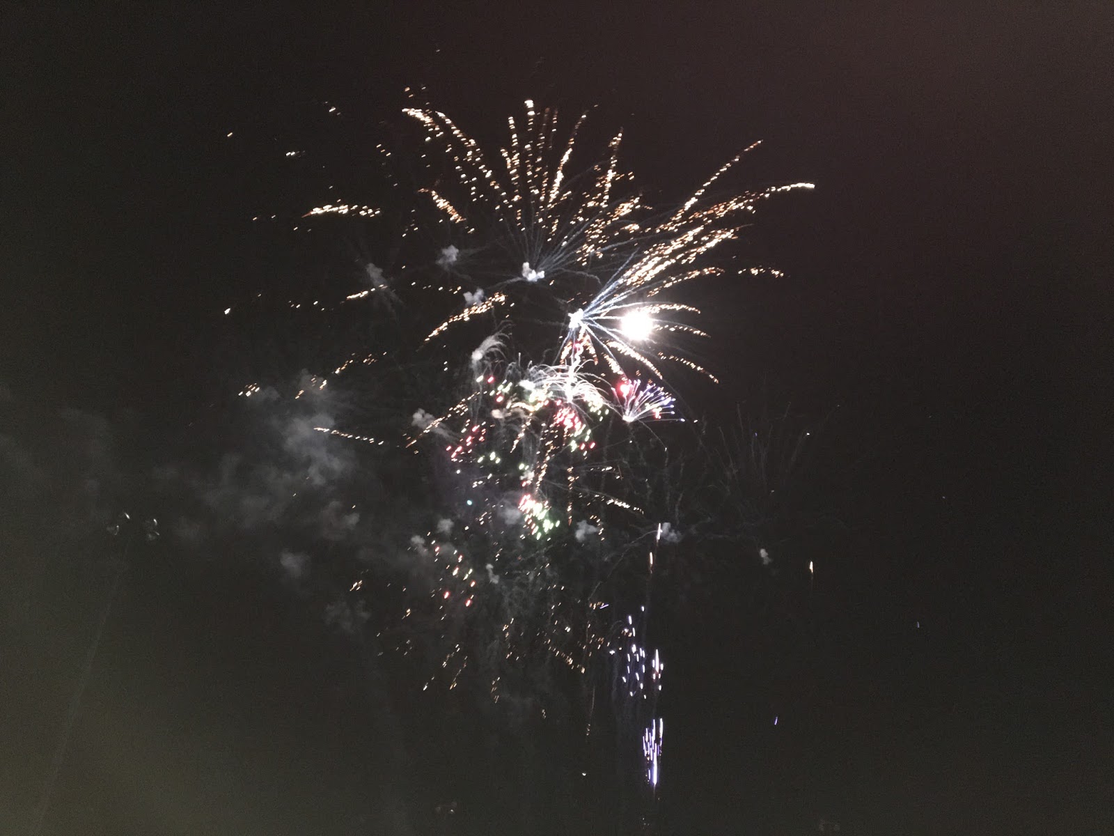
Saturday night had a spectacular fireworks display with a budget....outback style & not overdone like the cities might do for New Year Eve etc, followed by a music concert for the younger folk from around the district.

Back on the road again & we head into Diamantina National Park. As an avid Qld birder, it has been a much awaited for goal to visit this NP. We are still in the Channel Country & this 507,000 ha NP is
home to many rare & threatened species.
Diamantina NP was formerly a pastoral holding & became a national park in 1992. It sweeps across highly weathered sandstone ranges in the east, down to the floodplains of the Diamantina River & it's tributaries, then across Mitchell grass plains to sand dunes sitting along the eastern edge of the central Australia desert

We initially stayed for 2 nights at Gum Holes camp ground. We were camped in amongst the Coolibah Trees right beside a lagoon aptly called Gum Holes that is a small section of Whistling Duck Creek that runs through this area.
Being a former cattle station we found many station infrastructures during our drives around some of the area within 30 kms of Gum Holes camp ground.
The Boundary Bore is on the western entry road from Boulia into the NP.


We drove part of the Warracoota Circuit Drive - the full circuit is 90 kms, but our circuit drive was approx 40 kms to explore some of the pastoral relics & see sections of this beautiful desert landscape & the following 2 lakes.
Warracoota Lake was an oasis in this usually dry landscape where the birds & animals came to quench their thirst.

Old cattle yards.

This wire fence is unusual.

Lake Constance & Hunters Gorge are important wetlands & support breeding populations of many resident & migratory birds.


I was bird watching along the lake shores when my silence was disturbed by this......I was extremely surprised & disgusted when it actually came into land on the other side of the lake & 8 passengers dis embarked for some sightseeing. Suffice to say was that several dozen birds that had been on the lake down my end disappeared :-(

Another part of the property that changed into a NP & another set of cattle yards.


It was extremely dry along the roads.

We walked up onto a sand dune to look at the clay pans below. It's amazing what plants & trees grow in this seemingly desolate country.

Our next camp ground for another 2 nights was Hunters Gorge, right beside the Diamantina River.

We are also beside the Goyder Range.

Hunters Gorge is an important wetland & supports breeding populations of many resident & migratory birds.

There were a few walking trails in the area & especially along the river.
The river levels were low enough to walk up stream a little to cross over to the other side & eventually walk to the top of the hill on the opposite side of the river shown here.

On the other side at the top of that hill & the views were really spectacular.

During times of flooding the Diamantina River can be 50kms wide & must then flow through this narrower section before spreading out again over the landscape as it flows southwards towards Lake Eyre.
We had to drive to Janet's Leap. You can just see the range on the other side of the river.


We also drove to the rangers headquarters where visitors are encouraged to explore.
The headquarters are the original homestead buildings of Diamantina Lakes pastoral property.

An information centre of the Diamantina NP was inside 1 of the buildings.


Electricity is provided by solar panels. That's a generator under the several dozen solar panels that's a back up in the event of failure of the solar panels or the occasional cloudy few days.
Before the advent of solar panels, diesel generators were used to provide 12 V power to most Australian properties before 240V power poles were placed into many properties.


As we drove NE out of the NP we encountered our 1st dingo for the trip. 2 healthy looking animals.

Approaching the boundary of the NP is the McCartney Range.


Our drive was interrupted to look at this bore that provided a wetland for birds & animals.

Near by was the ruins to the old Mayne Hotel. The plaque tells the story.


There was no refrigeration in those days, so the drinks were kept cold in an underground cellar.


We ended the day by staying at Old Cork Station free camp. It sits beside the Diamantina River & has become quite a popular place for fishermen to stop for weeks to months on end.

Old Cork is / was a working cattle station. The old homestead was built & co owned in the 1880's by Thomas McIllwraith, then premier of Qld. After several owners, it was eventually abandoned by the 1980's. These ruins are part of the Winton Pioneer Trail, 126kms SW of Winton.


Our trip in the outback Qld will continue in Part 2.
No comments:
Post a Comment